Joost Plattel on Public Transportation and other datastreams
Alexandra Carmichael
July 26, 2011
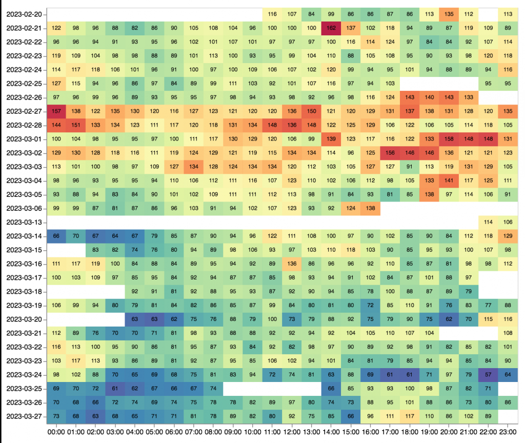
Joost Plattel quantifies 67% of his life. His dataset from 2010 has 40,000 data points. One way he tried to make sense of all this data was by building a heatmap of his public transportation data. He plans to build it out by integrating Foursquare, Twitter, Google latitude, and iPhone location data to get a better picture of how he moves around. His wish? A service that incorporates all of your geo-location data – and he’s working on it! (Filmed at Amsterdam QS Show&Tell #3.)
Joost Plattel – Public Transport (OV-chipkaart) & Other datastreams from Quantified Self Amsterdam on Vimeo.